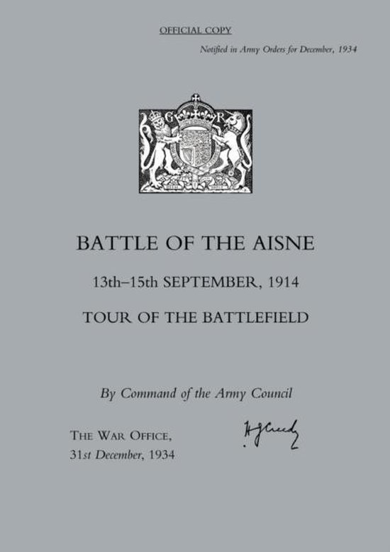
Battle of the Aisne 13th-15th September 1914,Tour of the Battlefield 2005
Afbeeldingen
Artikel vergelijken
- Engels
- Paperback
- 9781845740351
- 01 februari 2005
- 56 pagina's
Samenvatting
The First Battle of the Aisne, between 12-15th September 1914, was essentially a follow-up to the Battle of the Marne (8-10th September) in which the German advance on Paris had been checked and then turned back. This pamphlet, maps and tour is the official War Office guide to the battlefield, which was the watershed between the war of movement and the beginnning of trench warfare, published in 1934. Acting in conjunction with the French Fifth army on its right, and the Sixth Army on its left, and under the orders of the French C-in-C Gen. Joffre, the BEF advanced on the 12th, gaining the heights south of the River Aisne, and on the left south of Venizel reached a bridge over the river itself, which was captured that night in heavy fighting. To the left of the BEF, the French had also reached the Aisne between Compeigne and Soissons, while on the right the French had reached the River Vesle between Beaumont and Fismes. By the night of the 12/13th the gap between Von Kluck's First and Von Bulow's second Armies had widened to 18 miles, making it difficult for the Germans to man a defensive line along the Aisne. On 13th September the BEF crossed the Aisne, despite heavy opposition from the Germans who had brought up reserves to strengthen their line. On the 14th, hampered by a heavy mist, the BEF made little progress in their advance; fighting was intense and losses heavy, with every battalion but one of the BEF engaged. On the 15th, the final day of the battle, GHQ ordered the BEF to entrench the positions they had reached. Determined German counter-attacks were all repulsed. The guide gives an account of the battle, notes from the 1914 Training Manuals; lessons learned from the fighting; a study of operations at night; and the order of battle for the British, French, and German forces engaged. The pack comes with three main battlefield maps illustrating the unfolding action and five sketch maps showing the stands to view the panorama of the battlefield.
Productspecificaties
Wij vonden geen specificaties voor jouw zoekopdracht '{SEARCH}'.
Inhoud
- Taal
- en
- Bindwijze
- Paperback
- Oorspronkelijke releasedatum
- 01 februari 2005
- Aantal pagina's
- 56
- Illustraties
- Nee
Betrokkenen
- Hoofdauteur
- 31st December 1934 The War Office
- Hoofduitgeverij
- Naval & Military Press Ltd
Overige kenmerken
- Editie
- New title
- Extra groot lettertype
- Nee
- Verpakking breedte
- 210 mm
- Verpakking hoogte
- 4 mm
- Verpakking lengte
- 300 mm
- Verpakkingsgewicht
- 108 g
EAN
- EAN
- 9781845740351
Je vindt dit artikel in
- Categorieën
- Taal
- Engels
- Boek, ebook of luisterboek?
- Boek
- Beschikbaarheid
- Leverbaar
- Studieboek of algemeen
- Algemene boeken
Kies gewenste uitvoering
Bindwijze
: Paperback
Prijsinformatie en bestellen
De prijs van dit product is 33 euro en 99 cent.
2 - 3 weken
Verkoop door bol
- Prijs inclusief verzendkosten, verstuurd door bol
- Ophalen bij een bol afhaalpunt mogelijk
- 30 dagen bedenktijd en gratis retourneren
- Dag en nacht klantenservice
Anderen bekeken ook


Rapporteer dit artikel
Je wilt melding doen van illegale inhoud over dit artikel:
- Ik wil melding doen als klant
- Ik wil melding doen als autoriteit of trusted flagger
- Ik wil melding doen als partner
- Ik wil melding doen als merkhouder
Geen klant, autoriteit, trusted flagger, merkhouder of partner? Gebruik dan onderstaande link om melding te doen.