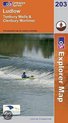
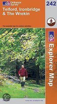
Ludlow and Tenbury Wells
Afbeeldingen
Sla de afbeeldingen overArtikel vergelijken
- Engels
- Paperback
- 9780319237601
- 01 december 2000
Ordnance Survey
"Ordnance Survey (OS) is a national mapping agency in the United Kingdom which covers the island of Great Britain. It is one of the world's largest producers of maps. Since 1 April 2015 it has operated as Ordnance Survey Ltd, a government-owned company, 100% in public ownership. The Ordnance Survey Board remains accountable to the Secretary of State for Business, Energy and Industrial Strategy. It is also a member of the Public Data Group.
(Bron: Wikipedia. Beschikbaar onder de licentie Creative Commons Naamsvermelding/Gelijk delen.)"
(Bron: Wikipedia. Beschikbaar onder de licentie Creative Commons Naamsvermelding/Gelijk delen.)"
Samenvatting
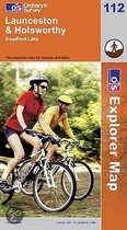
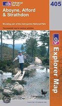
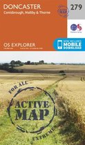
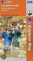
OS Explorer Map is the Ordnance Survey's most detailed map and is recommended for anyone enjoying outdoor activities like walking, horse riding and off-road cycling. Providing complete GB coverage the series details essential information such as youth hostels, pubs and visitor information as well as rights of way, permissive paths and bridleways.
Productspecificaties
Wij vonden geen specificaties voor jouw zoekopdracht '{SEARCH}'.
Inhoud
- Taal
- en
- Bindwijze
- Paperback
- Oorspronkelijke releasedatum
- 01 december 2000
- Illustraties
- Nee
Betrokkenen
- Hoofdauteur
- Ordnance Survey
- Hoofduitgeverij
- Ordnance Survey
Overige kenmerken
- Editie
- A1
- Product breedte
- 134 mm
- Product hoogte
- 19 mm
- Product lengte
- 242 mm
- Studieboek
- Nee
- Verpakking breedte
- 134 mm
- Verpakking hoogte
- 19 mm
- Verpakking lengte
- 240 mm
- Verpakkingsgewicht
- 130 g
EAN
- EAN
- 9780319237601
Je vindt dit artikel in
- Categorieën
- Regio
- Verenigd Koninkrijk, West-Europa
- Taal
- Engels
- Beschikbaarheid
- Leverbaar
- Boek, ebook of luisterboek?
- Boek
Kies gewenste uitvoering
Kies je bindwijze
(4)
Prijsinformatie en bestellen
De prijs van dit product is 34 euro en 15 cent. Dit is een tweedehands product.Alleen tweedehands
Goed
1 - 2 weken
Verkoop door
Bogamo 4 - Boeken outlet
- Bestellen en betalen via bol
- Prijs inclusief verzendkosten, verstuurd door Bogamo 4 - Boeken outlet
- 30 dagen bedenktijd en gratis retourneren
Shop dit artikel
Anderen bekeken ook

Rapporteer dit artikel
Je wilt melding doen van illegale inhoud over dit artikel:
- Ik wil melding doen als klant
- Ik wil melding doen als autoriteit of trusted flagger
- Ik wil melding doen als partner
- Ik wil melding doen als merkhouder
Geen klant, autoriteit, trusted flagger, merkhouder of partner? Gebruik dan onderstaande link om melding te doen.