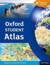
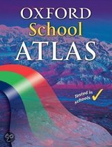
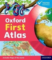
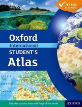
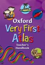
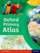
Oxford School Atlas
Afbeeldingen
Sla de afbeeldingen overArtikel vergelijken

Uitgever: Oxford University Press
Auteur:
Patrick Wiegand
- Engels
- Paperback
- 9780199137022
- 31 mei 2012
- 96 pagina's
Samenvatting
The most engaging reference atlas for ages 10-14.
The Oxford School Atlas includes country data and easy-to-read colourful mapping, presented in an accessible visual layout based on research into how students use maps. The atlas covers key curriculum themes such as earthquakes and volcanoes, climate, economic activity, and development. It includes comprehensive coverage of the British Isles, and case studies of Italy, Kenya, Brazil, Japan, China, California, the Indian Ocean tsunami, Hurricane Katrina, and Antarctica.
The Oxford School Atlas includes country data and easy-to-read colourful mapping, presented in an accessible visual layout based on research into how students use maps. The atlas covers key curriculum themes such as earthquakes and volcanoes, climate, economic activity, and development. It includes comprehensive coverage of the British Isles, and case studies of Italy, Kenya, Brazil, Japan, China, California, the Indian Ocean tsunami, Hurricane Katrina, and Antarctica.
Productspecificaties
Wij vonden geen specificaties voor jouw zoekopdracht '{SEARCH}'.
Inhoud
- Taal
- en
- Bindwijze
- Paperback
- Oorspronkelijke releasedatum
- 31 mei 2012
- Aantal pagina's
- 96
- Illustraties
- Nee
Betrokkenen
- Hoofdauteur
- Patrick Wiegand
- Hoofduitgeverij
- Oxford University Press
Overige kenmerken
- Editie
- 3
- Extra groot lettertype
- Nee
- Product breedte
- 228 mm
- Product hoogte
- 9 mm
- Product lengte
- 291 mm
- Studieboek
- Nee
- Verpakking breedte
- 225 mm
- Verpakking hoogte
- 12 mm
- Verpakking lengte
- 292 mm
- Verpakkingsgewicht
- 407 g
EAN
- EAN
- 9780199137022
Je vindt dit artikel in
- Categorieën
- Taal
- Engels
- Boek, ebook of luisterboek?
- Boek
- Soort kinderboek
- Atlassen & Kaarten
- Beschikbaarheid
- Leverbaar
Kies gewenste uitvoering
Kies je bindwijze
(2)
Prijsinformatie en bestellen
De prijs van dit product is 13 euro en 99 cent.
Uiterlijk 1 juni in huis
Verkoop door bol
- Gratis verzending door bol vanaf 20 euro
- Ophalen bij een bol afhaalpunt mogelijk
- 30 dagen bedenktijd en gratis retourneren
- Dag en nacht klantenservice
Anderen bekeken ook

Rapporteer dit artikel
Je wilt melding doen van illegale inhoud over dit artikel:
- Ik wil melding doen als klant
- Ik wil melding doen als autoriteit of trusted flagger
- Ik wil melding doen als partner
- Ik wil melding doen als merkhouder
Geen klant, autoriteit, trusted flagger, merkhouder of partner? Gebruik dan onderstaande link om melding te doen.