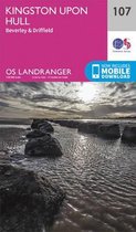
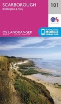
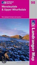
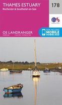
Wensleydale & Upper Wharfedale
Afbeeldingen
Sla de afbeeldingen over
Artikel vergelijken
- Engels
- Paperback
- 9780319263419
Ordnance Survey
"Ordnance Survey (OS) is a national mapping agency in the United Kingdom which covers the island of Great Britain. It is one of the world's largest producers of maps. Since 1 April 2015 it has operated as Ordnance Survey Ltd, a government-owned company, 100% in public ownership. The Ordnance Survey Board remains accountable to the Secretary of State for Business, Energy and Industrial Strategy. It is also a member of the Public Data Group.
(Bron: Wikipedia. Beschikbaar onder de licentie Creative Commons Naamsvermelding/Gelijk delen.)"
(Bron: Wikipedia. Beschikbaar onder de licentie Creative Commons Naamsvermelding/Gelijk delen.)"
Samenvatting
The OS Landranger Map series covers Great Britain with 204 detailed maps, perfect for day trips and short breaks. Each map provides all the information you need to get to know your local area and includes places of interest, tourist information, picnic areas and camp sites, plus Rights of Way information for England and Wales. OS Landranger now includes a digital version of the paper map, accessed through the OS smartphone app, OS Maps.
Productspecificaties
Wij vonden geen specificaties voor jouw zoekopdracht '{SEARCH}'.
Inhoud
- Taal
- en
- Bindwijze
- Paperback
- Illustraties
- Nee
Betrokkenen
- Hoofdauteur
- Ordnance Survey
- Hoofduitgeverij
- Ordnance Survey
Overige kenmerken
- Editie
- December 2016 ed
- Studieboek
- Nee
- Verpakking breedte
- 134 mm
- Verpakking hoogte
- 6 mm
- Verpakking lengte
- 224 mm
- Verpakkingsgewicht
- 381 g
EAN
- EAN
- 9780319263419
Je vindt dit artikel in
- Categorieën
- Land
- Engeland
- Taal
- Engels
- Regio
- Verenigd Koninkrijk
- Beschikbaarheid
- Leverbaar
Kies gewenste uitvoering
Bindwijze
: Paperback
Prijsinformatie en bestellen
De prijs van dit product is 20 euro.
1 - 2 weken
Verkoop door
MyBoeken.nl
- Bestellen en betalen via bol
- Prijs inclusief verzendkosten, verstuurd door MyBoeken.nl
- 30 dagen bedenktijd en gratis retourneren
- Wettelijke garantie via MyBoeken.nl
Anderen bekeken ook


Rapporteer dit artikel
Je wilt melding doen van illegale inhoud over dit artikel:
- Ik wil melding doen als klant
- Ik wil melding doen als autoriteit of trusted flagger
- Ik wil melding doen als partner
- Ik wil melding doen als merkhouder
Geen klant, autoriteit, trusted flagger, merkhouder of partner? Gebruik dan onderstaande link om melding te doen.